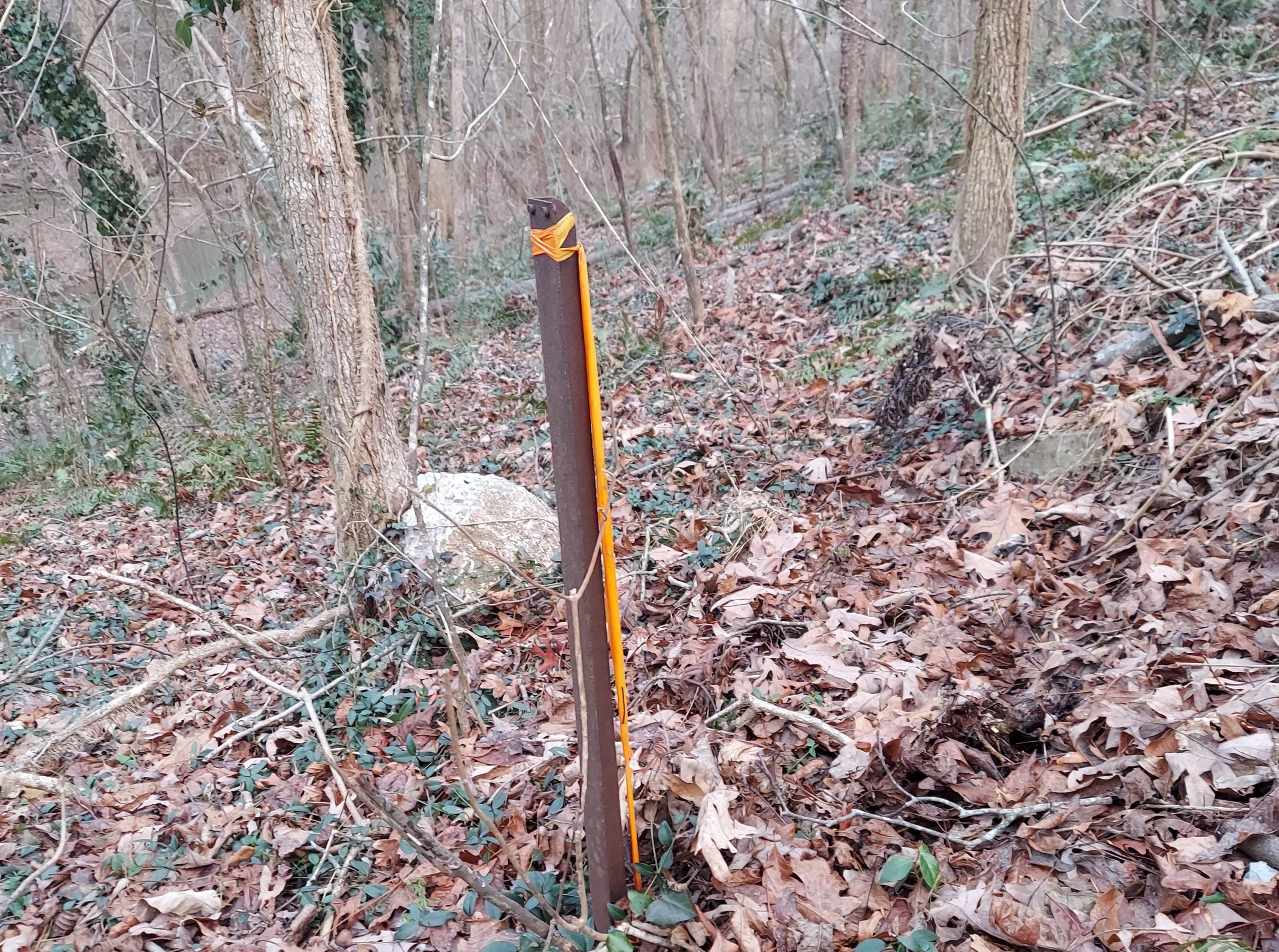
Property Boundary Surveys

A boundary survey is performed for the purpose of describing, monumenting, and mapping the boundaries and corners of a parcel of land.  A boundary survey locates, on the ground, your property as described in your deed.  Ridgeline Surveying will always determine your property boundaries accurately and correctly.

Construction Layout


Accurate construction site layout is critical to the success of any small or large scale site. Surveyors layout the location of buildings and other site features as per the site development plans. The impact of good layout practices in terms of time, money, and construction efficiency increases with the size of the project.  Ridgeline Surveying has an excellent record of construction site productivity and accuracy.

Photogrammetry


Ridgeline Surveying uses the latest technology to perform precision aerial mapping. Deliverables include georeferenced orthomosaic photos, 3D model generation for contour maps and volume analysis, color point cloud data, 3D textured mesh, and more. Ridgeline Surveying maintains all required FAA commercial licenses and we meticulously comply with all requirements and restrictions to legally and safely complete all aerial based projects.

ALTA Surveys

An ALTA/ACSM Land Title Survey is a boundary survey prepared to a set of minimum standards that have been jointly prepared and adopted by the American Land Title Association and the American Congress on Surveying and Mapping. An ALTA/ACSM Land Title Survey shows improvements, easements, encroachments, rights-of-way, and other elements impacting the ownership of commercial land.  Ridgeline Surveying works hand in hand with Title Attorneys to address all elements of the requested survey to provide the most correct and complete product possible.

Machine Control Data Preparation

Ridgeline Surveying continues to grow with the surveying industry. We provide accurate 3D model preparation for machine control grading systems. This exciting new technology allows grading contractors to grade their construction site with increased accuracy and productivity.